


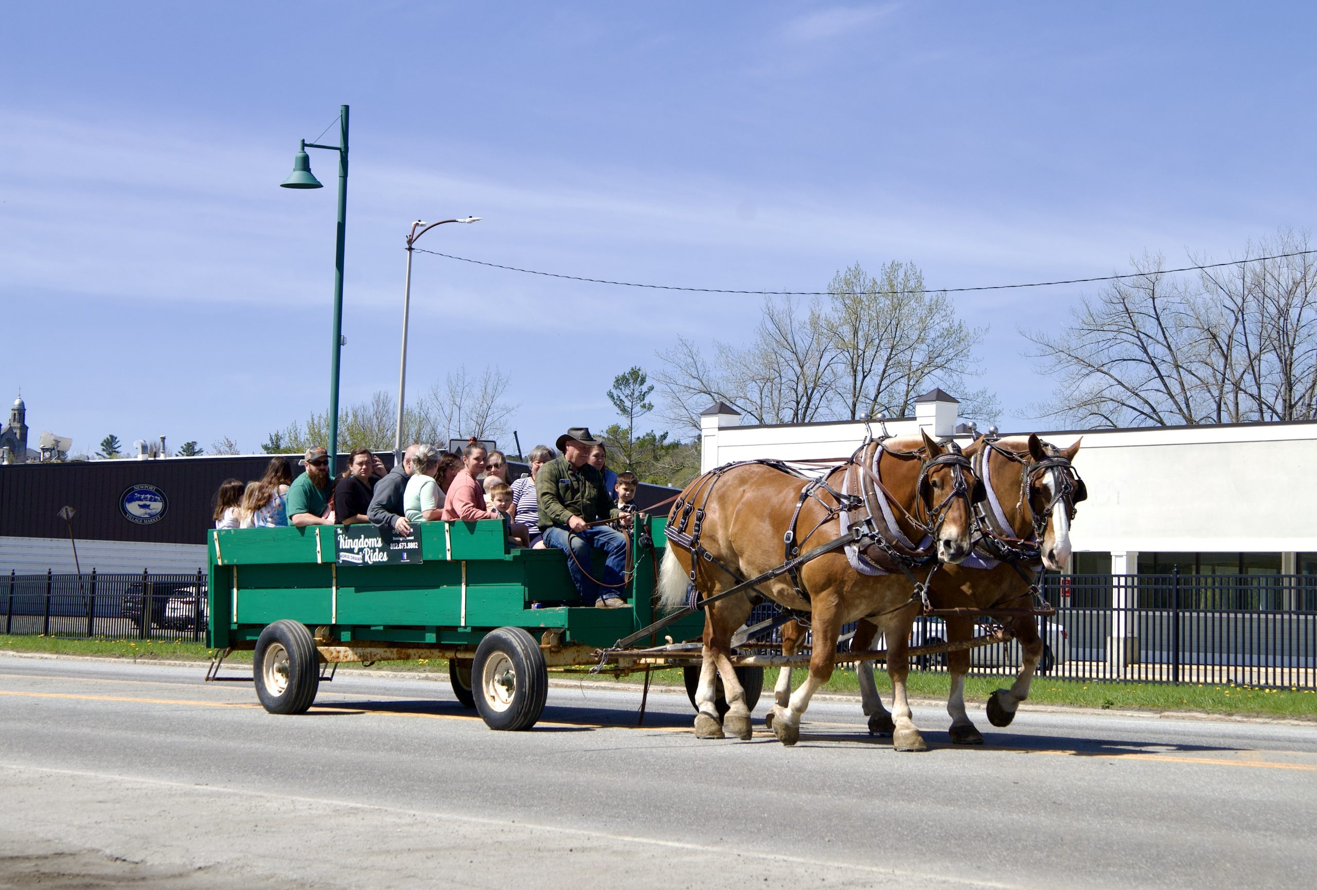
A four-day bikepacking route starting and ending in Newport is highlighting gravel riding and communities on both sides of the U.S.-Canada border.
The Lacs et frontière, or Lakes and Border, route leads riders from Newport into Québec’s Eastern Townships on gravel roads and dedicated bike paths. The route travels along the shorelines of three major lakes, through a national park, and past village cafés, wineries, breweries, campgrounds, and local businesses.
The route is a collaborative project led by the Northern Forest Center, with funding support from the Vermont Outdoor Recreation Economic Collaborative through a grant to Newport Downtown Development.
The route was developed by Northern Forest Center staff with support from the Eastern Townships Tourism Association, MRC de Memphrémagog, and Vélo de montagne Cantons-de-l’Est. Ride mapping and promotion support was provided by CRO Planning & Design and Community Geographics. NEK Gravel is providing map hosting and website support.
The ride begins in Newport, where riders can camp at Prouty Beach Campground before starting the route. Riders are also encouraged to explore downtown Newport’s shops and restaurants before heading north.
On the first day, riders travel toward the U.S.-Canadian border at North Troy and Highwater, with a climb, a descent, and views of Jay Peak on a clear day. Riders are reminded to bring a passport. The first day includes stops near Mansonville and Dunkin, where riders can find snacks or supplies, before camping at Camping Nature Plein Air.
Day two takes riders through Sutton and toward Lake Brome. Sutton, about 16.5 miles from Camping Nature Plein Air, offers restaurants and shops for reprovisioning. Riders can also stop at wineries framed by the Sutton Mountain Range. The route then continues along the edge of the Green Mountains Nature Preserve and into Knowlton before following the eastern coast of Lake Brome to Camping Domaine des Erables.
Day three begins at Lake Brome and continues toward Waterloo or Eastman, where riders can find food and café stops. The route then enters Mont-Orford National Park, where riders should get a day pass. Highlights include mountain views, sugar maple forests, and riding along the edge of Cherry Pond. After leaving the park, riders come to Magog, which offers restaurants, breweries, and other options before continuing to Camping du Lac Massawippi in Ayer’s Cliff.
The final day begins in Ayer’s Cliff, where riders can find groceries before the ride back to Newport. Highlights include views on Chemin de la Colline-Brown, a challenging climb after Fitch Bay, a short section of singletrack trail leading to a country store in Georgeville, views across Lake Memphremagog to Owl’s Head, a covered bridge in the Fitch Bay Narrows, and the Beebe Spur Rail Trail along Lake Memphremagog.
Riders looking for a shorter option back to Newport can use the Tomifobia Nature Trail from Ayer’s Cliff to Stanstead. The scenic rail trail offers a smoother, flatter ride back toward Vermont.
The full route is 146 miles, or 234 kilometers, and is suggested as a four-day clockwise ride. It includes 9,671 feet of elevation gain, 25 climbs, and a surface mix of 56 percent gravel and 44 percent paved roads. The maximum climbing grade is 11.3 percent, with a maximum descending grade of 13.1 percent.
Route details, Ride with GPS links, daily route downloads, maps, and the full ride guide are available through NEK Gravel at nekgravel.org.